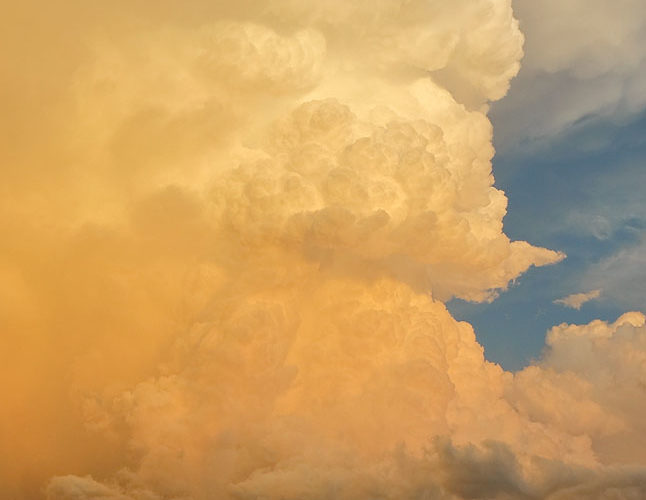
Frigid in cold outflow, at over 6,000 feet in elevation, one may be excused for distraction from surroundings. In this moment, I hardly noticed the wind and cold. A supercell had formed along the trailing, southwest end of a thunderstorm complex, thrusting its deepest and most purely vertical towers toward the tropopause right at sunset, with a bonus wall cloud beneath the main updraft base. … [Read more...]
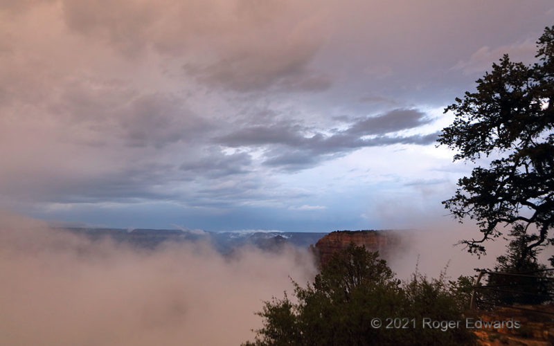
Moist Twilight in the Grand Canyon
After one round of late-afternoon/sunset storms passed, and shortly before another that always will warm my memories, so will this comfortingly unusual sky. Both altostratus above, and foggy stratus and scud from my level on down, very briefly caught filtered sunset light, sandwiching the shadowed backdrop of the early "blue hour". Cool and damp, wondrously freshened by the scent of moist … [Read more...]
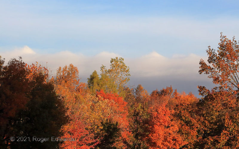
K-H Waves with Fall Colors
Regularly spaced, angular mounds, created by Kelvin-Helmholtz wave action, rippled atop a stratus deck that accompanied an approaching cold front. The frontal stratus deck soon would come into view from higher ground as a sharply defined, beautifully angular arcus cloud, albeit without the K-H formations atop. To make the change in scenery, I just had to trade campus fall-foliage foreground for … [Read more...]
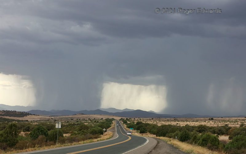
Double Downbursts
While one "Arizona Mountain Downburst" (left) still was raging on and moving southward, another at right unloaded in a heavy way. The sharpness of the rain cores loosely mimicked wedge tornadoes, and I say "loosely" loosely. No doubt many who got the rain welcomed it, even with the sporadic flash flooding in the rugged terrain. Within less than half an hour, cloud bases from these all the way … [Read more...]
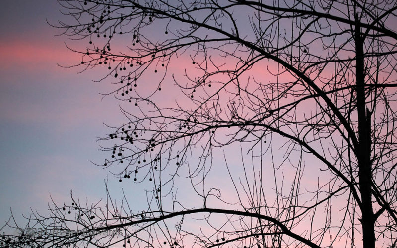
Sycamore Seedball Sunset
Damaged badly in October of the previous year by an early-season ice storm, one of our sycamores recovered and regrew enough to offer a nice collection of their hard, rough seedballs for the following season, here silhouetted in yet another beautiful central Oklahoma sunset display. Between these and the spiked version offered by two nearby sweetgums, a barefoot stroll around the backyard isn't … [Read more...]
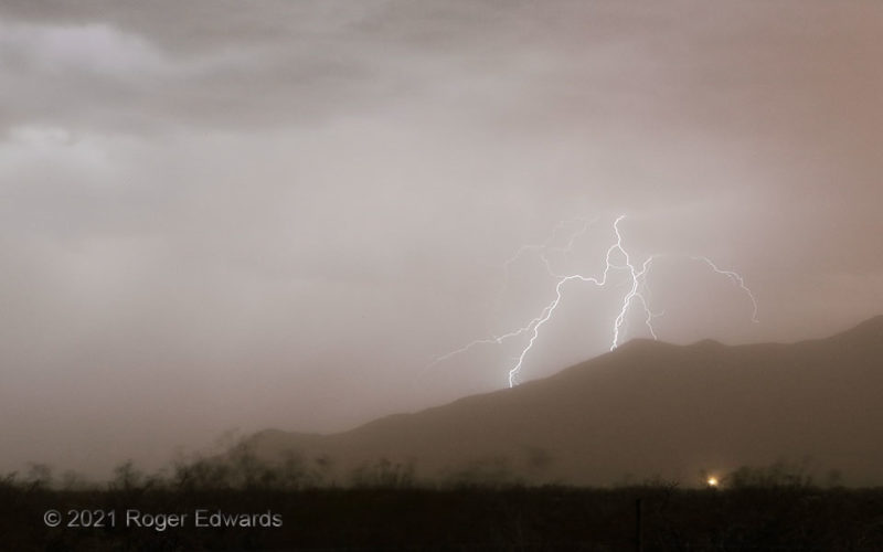
Mountain Sparks through Dust
This shot has a dusty hue for good reason. The rather uncommon coloration for a twilight lightning image can be attributed to a big pall of dust, from the same haboob that earlier yielded great sunset colors and photogenic dust plumes, and now was whipping the hardy desert scrub hither and yon in the wind. One positive side effect of having a pandemic facemask supply aboard was using one to … [Read more...]
- « Previous Page
- 1
- …
- 116
- 117
- 118
- 119
- 120
- …
- 425
- Next Page »