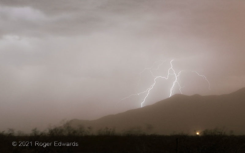
This shot has a dusty hue for good reason. The rather uncommon coloration for a twilight lightning image can be attributed to a big pall of dust, from the same haboob that earlier yielded great sunset colors and photogenic dust plumes, and now was whipping the hardy desert scrub hither and yon in the wind. One positive side effect of having a pandemic facemask supply aboard was using one to … [Read more...]
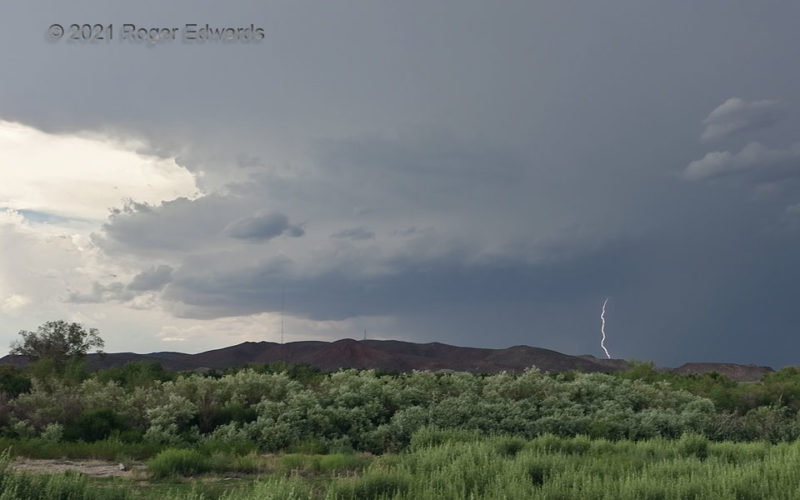
Supercellular Hatch
Looming over low mountains across the Rio Grande from Hatch, NM, this peppy little southward-moving supercell spun for about an hour before being overtaken by outflow-dominant convection farther northeast. Wait, what? A supercell in southern New Mexico in mid July? You bet! Though flow aloft wasn't especially strong, a dominant northerly component atop southerly surface flow (and enhanced … [Read more...]
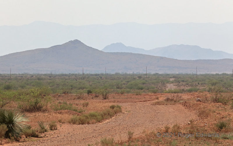
Desert Haze: Smoke and Dust
Unlike a lot of Midwestern, Eastern and Gulf Coast haze, this involved little or no industrial pollution. The day before, a tremendous haboob began with convection in the mountains northeast of Las Cruces, NM, and swept over most of southern New Mexico into southeastern Arizona, contributing to wrecks on I-10 that snarled traffic for hours, and lofting countless millions of tons of dust … [Read more...]
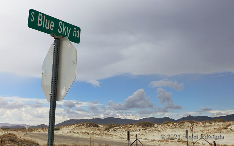
Blue Sky Anvil
Defying the sign below, an increasingly dense cumulonimbus anvil spreads across miles of sandy Arizona desert, originating off the Chiricahua Mountains at unseen right rear. Do you think the atmosphere cares about this sign (other than to pop it with lightning sometime)? Befitting the fickle nature of orographically fired monsoonal multicells, areas of the mountains and immediately adjoining … [Read more...]
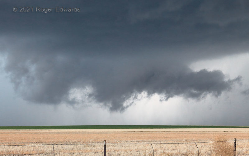
Notch Intensity
A big, messy, north Texas-style high-precip (HP) supercell on the Colorado High Plains had come close to producing (and may have) a tornado on an occasion or two, but just couldn't quite organize enough yet. The young wall cloud, in the storm's notch region, was intensely convergent, with very rapid rising motion in the scuddy lowering at center. I thought it could produce an unambiguous tornado … [Read more...]
Sunrise, Front Side
[Part 2 of 2] What a difference 180 degrees of view makes! While the west side of the sky at my back still glowed in an unusually bright pink pastel, with soft transitions to baby blue, this wonderfully textured, kaleidoscopic cloudscape (and conveniently centered vertical shadow) blazed forth in the east. This felt like it had orchestral accompaniment with a grandiose, anthem-like symphony … [Read more...]
- « Previous Page
- 1
- …
- 110
- 111
- 112
- 113
- 114
- …
- 418
- Next Page »