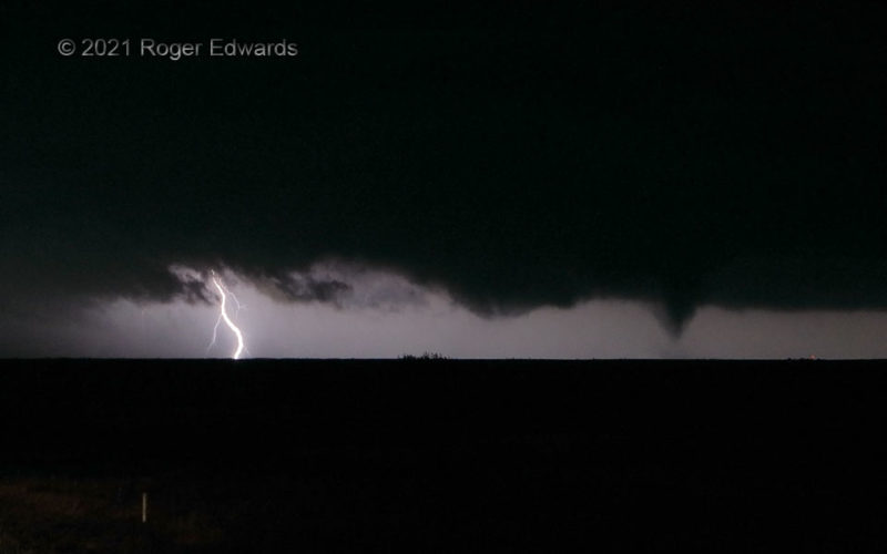
The cone-shaped condensation funnel at right lasted a few minutes, but only briefly kicked up enough dust and debris to call it tornadic with certainty. Fortunately, scattered light from the cloud-to-ground flash at left produced just enough silhouetting to bring it out in this photo. This tornado was the first from a newer mesocyclone east of US-183, and separate from an older, formerly … [Read more...]
Power Flash outside Tornado
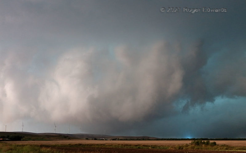
[Part 2 of 2] Before wrapping too deeply in rain to see anymore, the Saddle Mountain tornado became fuzzier visually as it crested the western end of the Slick Hills, engulfing a wind turbine that had been braked already. It didn't appear to damage the turbine, and some of its condensation faintly can be seen on the near side of the hill, behind the lit structure. Fortuitously, I caught a … [Read more...]
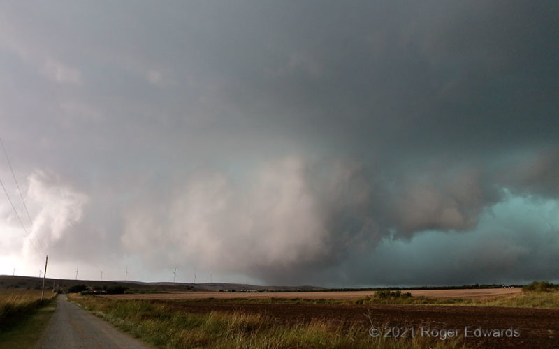
Saddle Mountain Tornado
[Part 1 of 2] This low, wet, messy, tornadic circulation first developed just beyond that wind-turbine-festooned ridge it was cresting, which is the western end of southwestern Oklahoma's Slick Hills, and near a dot on the map called Saddle Mountain, named after part of the Wichita Mountains still further away. With the supercell already taking on heavy-precipitation characteristics, a big … [Read more...]
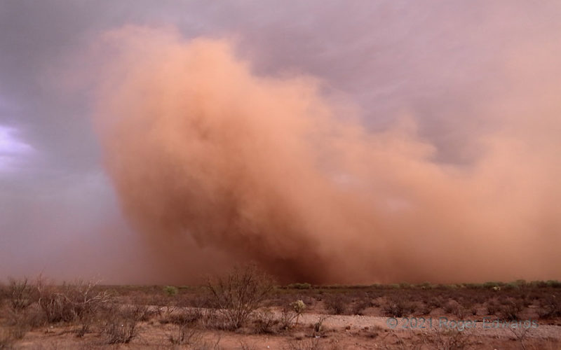
Desert Dust Bomb
This is a cloud, all right—a dust cloud, and a fast-moving, dense, nasty one that stymied traffic west of Tucson, as it caught indirect sunset light reflected off clouds to the west. It also was a fascinating manifestation of fluid flow. The outflow that caused this blew a well-defined haboob through Tucson itself, briefly and directly sunlit, before crossing some small mountain ranges that … [Read more...]
Desert Mountain Electric Attack
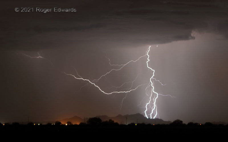
A few lesser strikes before this kicked off what I've called an electrical extravaganza near Eloy, but this rapid-fire, three-stroke series of discharges early in the lengthy train of cores gave me a hint that the night would be something special. Whether the mountain itself was it, or the flashes struck right behind it, that was a place I'm glad not to have been camping or hiking on a juiced-up … [Read more...]
Small Supercell Approaching 385
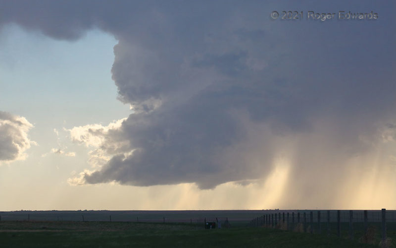
A few hours after a frantic intercept of a large, messy supercell that (for me) was briefly tornadic before it got away, it was time to let a few hours elapse and await further storm potential. Along came a small one! Even with an updraft that was narrower than usual, this classic supercell had so many of the textbook features: (small) wall cloud, rear-flank downdraft, vault region on the north … [Read more...]
- « Previous Page
- 1
- …
- 109
- 110
- 111
- 112
- 113
- …
- 413
- Next Page »
