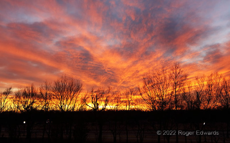
[Part 4 of 5] For this, I ducked inside and ran up a few flights of stairs to get above the trees, for the most part. Even when overhead colors fade, we can lengthen the sunset experience by focusing on continuing fiery colors and evolving cloud shapes wandering the lowest sky, just above the horizon. Such little scenes of wonderment are tailor-made for zooming in deep with either lens or … [Read more...]
Sunset Elements 3
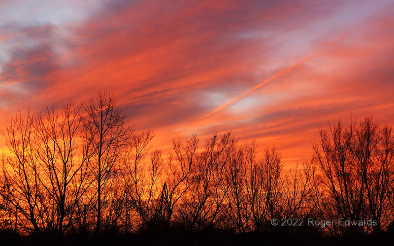
[Part 3 of 5] Panning back southwest, the wide-sky sector sampled in Part 1 darkened and reddened further, maintaining its somewhat radial appearance even as the cloud shapes continued to shift and pivot. Minute after minute passed with the sky brilliantly aglow like this, a long sunset fostered by the low wintertime angle of descent below horizon. And the glorious moments lingered... [Go to … [Read more...]
Sunset Elements 2
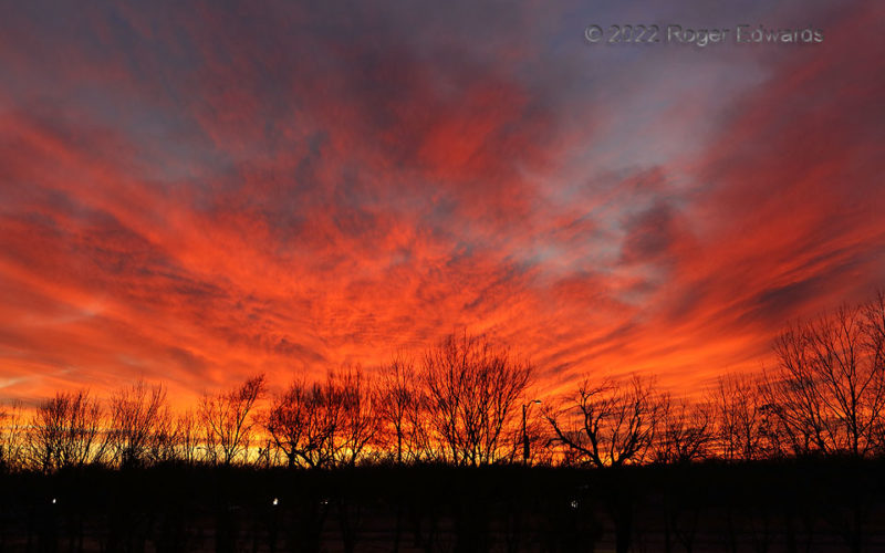
[Part 2 of 5] When blazing sunset scenes splash themselves across a large fraction of the sky, then last for many minutes as cloud forms evolve, the variety of views and compositions in one episode becomes almost endless, especially with either eyes or camera actively performing zoom, pan and pivot maneuvers. The streaky, rippled texture of the "lower high cloud" form sneakily nestled a contrail … [Read more...]
Sunset Elements 1
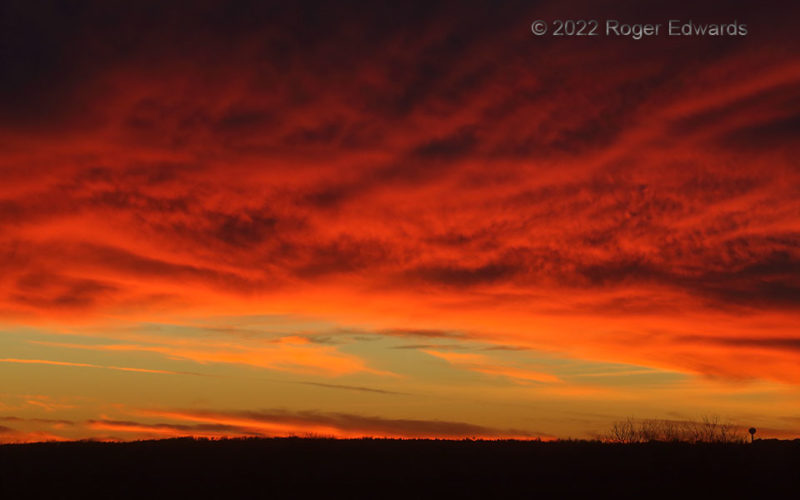
[Part 1 of 5] A long and brilliant sunset show—even by already-lofty Oklahoma standards—began a couple minutes before this, then blossomed into a long peak phase. What made this stage remarkable wasn't just the great coloration, nor even the serendipitously wild fan shape off the central source that evoked an explosion of light, but also, depth of the texturing. From the ground, orange cirrus … [Read more...]
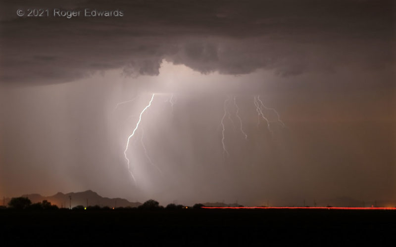
Ghostly Sparks
A combination of falling rain in the core and flying dust in front rendered a ghostly effect to this sparkling scene between Tucson and Phoenix. The outflow-belching, dust-kicking multicellular thunderstorm cluster trained along its long axis, presenting me with the opportunity to photograph dozens of cloud-to-ground strikes from one spot. As for the red stripe, that was a taillight on a vehicle … [Read more...]
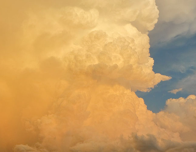
Towering Sunset Sky
Frigid in cold outflow, at over 6,000 feet in elevation, one may be excused for distraction from surroundings. In this moment, I hardly noticed the wind and cold. A supercell had formed along the trailing, southwest end of a thunderstorm complex, thrusting its deepest and most purely vertical towers toward the tropopause right at sunset, with a bonus wall cloud beneath the main updraft base. … [Read more...]
- « Previous Page
- 1
- …
- 103
- 104
- 105
- 106
- 107
- …
- 413
- Next Page »