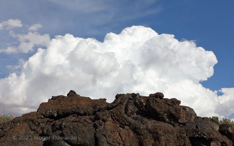
Only about 5,000 years ago—the blink of an eye in geologic time—a small cinder cone in the north part of the Tularosa Basin poured forth a slow, nearly steady lava flow for about a decade, similar to some of Kilauea's action in Hawaii. Still rugged and sharp, the flow known as Carrizozo Malpais, or Valley of Fires, is one of the youngest in the continental U.S. The lava field extends for 44 … [Read more...]
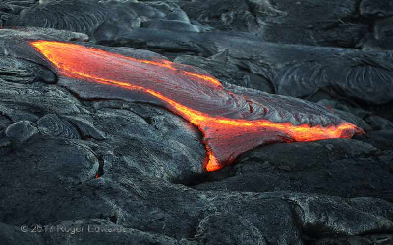
Heat Flow
Two thousand degrees and flowing while glowing, "eruption 61g" lava further coated the Big Island's Kalapana plain, radiating more than enough heat to keep observers warm on a cool winter morning a few hundred feet above, and a couple miles upslope from, the tropical Pacific. With dawn's brightening light, the various flowing and cooled breakouts made a truly "lava-ly landscape". Over a few … [Read more...]
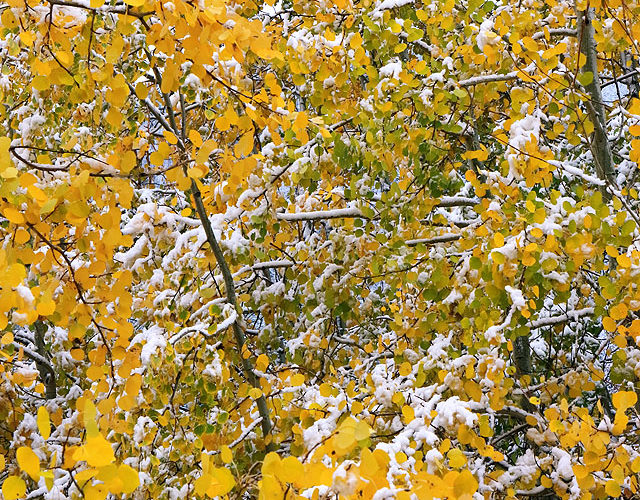
Snow in Aspens
It wasn't in Oklahoma. It wasn't in astronomical wintertime. Nonetheless, it was winter weather, so here you are! Wet, sticky snow gathered on autumnal aspens still festooned with many green leaves—dappling the beauty of autumn with the festive brightness of holidays to come. We would remain in snowy elevations off and on right through South Park, before changing to rain at less than 7,000 … [Read more...]
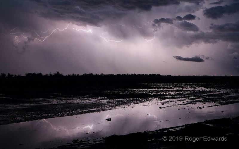
More Flooded Farmland with Lightning Reflections
As a severe-hail-producing supercell receded eastward and absorbed into a larger storm cluster, its trailing precipitation region and flooded farm field yielded a fine show of direct and reflected electric light. Given all this water and mud, the center-pivot irrigator at distant right would be neither useful nor usable for a few days, at least. 4 N Olustee OK (8 May 19) Looking SE 34.6052, … [Read more...]
Flaming Follow-Up
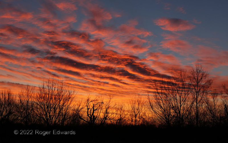
Two days after a splendid sunset performance, the sky played an encore. Anyone in the same area, looking up at the same time, was treated to another stunner. This one glowed courtesy of a fortuitously positioned patch of deeply furrowed clouds—altocumulus undulatus—over a clean, cold, post-frontal boundary layer. The year 2022 wasted no time offering amazing sunsets in these parts. Norman OK … [Read more...]
Sunset Elements 5
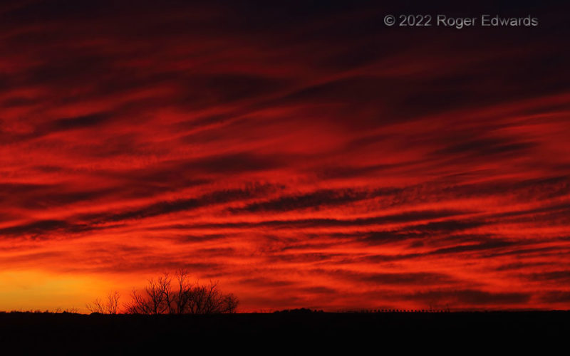
[Part 5 of 5] This astoundingly long Oklahoma sunset show saved its best for last, as far as I am concerned: a deep zoom into the complexly folded texture of flaming reds, undulating through the farthest western sky and over the horizon. One could have employed assorted directions and zoom factors to shoot a dozen unique-looking sky scenes in this event, even as I only feature five. In that … [Read more...]
- « Previous Page
- 1
- …
- 102
- 103
- 104
- 105
- 106
- …
- 413
- Next Page »
