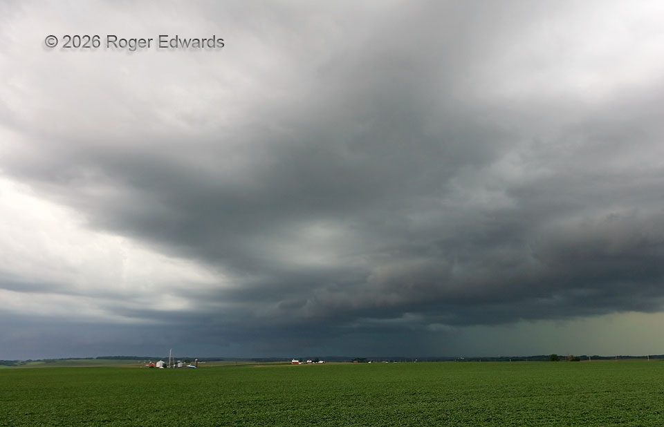
Rolling down the eastern edge of an instability gradient, a supercell underwent heavy-precip, outflow-dominant transition, during the last moments when the mesocyclonic region (beyond the distant red barn) was at least somewhat visible. Though the storm was tornado-warned here, and most of the rest of its lifespan, its chances of legitimate verification, here and hereafter, plummeted precipitously. Just in time for my first good view of the storm, coming in to eastern Iowa from Wisconsin and the last morning and lunchtime of the AMS Severe Storms Conference! The forward-flank core, at right, shot outflow southward ahead of the mesocyclone at a faster rate than the storm could right-move to the SSE to compensate. Meanwhile, the mesocyclone retreated farther back into the north between that shelf cloud and the one produced by the rear-flank downdraft (distant left).
1 N Sand Springs IA (7 Aug 26) Looking W
42.7236, -91.1896