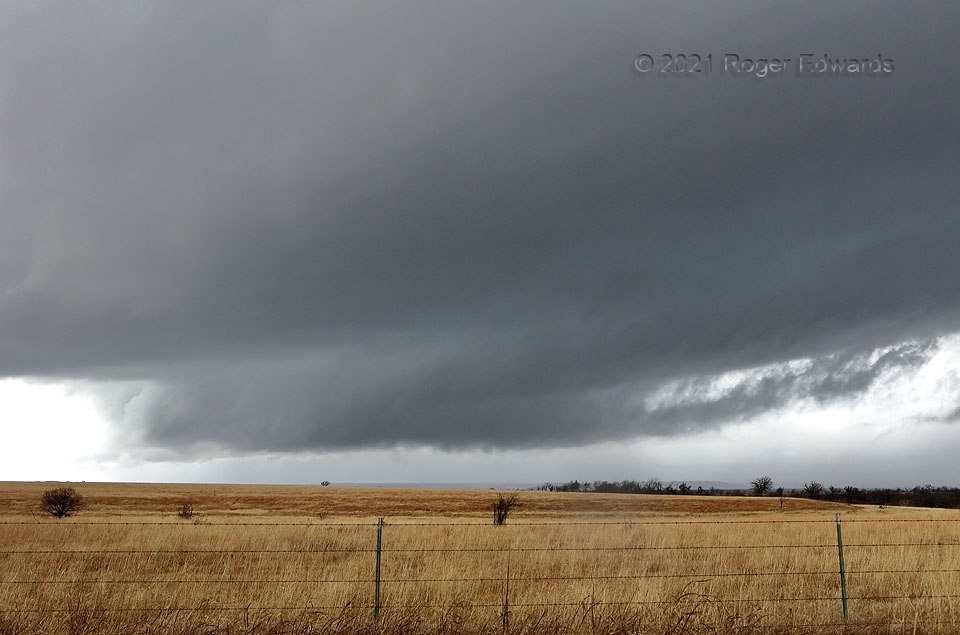
An elongated wall cloud rotated slowly but rather asymmetrically, seemingly trading areas of more-concentrated turning for a few minutes until the entire mesocyclone area began to be undercut by the storm’s forward-flank outflow (coming in from the right). In the meantime, scud in the tail cloud at right moved fairly rapidly inward (right to left). On a cool yet unstable day when low-topped, mostly small supercells nonetheless had at least weak tornado potential, I thought this relatively broad base had a shot. However, the next storm to the south would be the funnel producer, with a smaller updraft area, and about an hour later.
4 NNE Centralia OK (30 Jan 21) Looking WNW
36.8571, -95.3416
