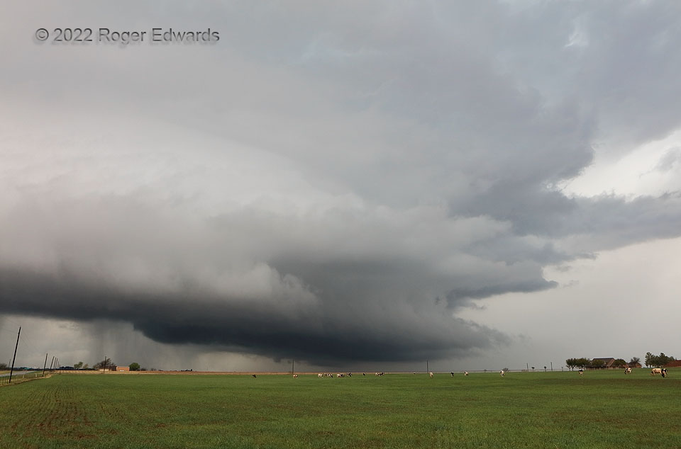
The winds of Windthorst helped this supercell to mature, then sent it off to oblivion. This is the transition between those stages. What had been a smaller but better-defined, tightening wall cloud became lower, broader and darker. The storm was ingesting a streamer of cool outflow air from a heavy shower that moved northward across the supercell’s inflow region. Low-level rotation became broad and poorly focused, never recovering. Whatever tornado potential this storm may have had—it was in a marginal environment anyway—was suppressed by the ingestion of stable air. Regardless, the nearly laminar layers made for the best structural show of the storm’s lifespan. Unlike here, sometimes a supercell can interact with a boundary from a passing cell and strengthen, at least temporarily.
3 ESE Windthorst TX (4 Apr 22) Looking WNW
33.5663, -98.3875
