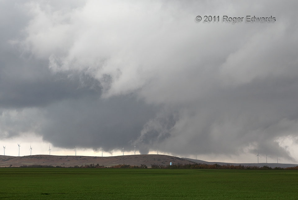
Writhing and pulsating nicely, the condensation funnel for the Wichita Mountains tornado came into view, exiting the Cambrian granite crags of the Wichitas and approaching the Carboniferous-aged limestone ridges of the Slick Hills in the foreground. The early stages of this vortex became visible to observers south of the Wichitas, then disappeared into the road void and hills, emerging again here for those fewer of us to the north. Alas, this truncated look at the tornado was all I could get, with a wide-angle photo view to incorporate surrounding cloud and landscape context. It soon dissipated, followed in very short order by the “Wind Farm Tornado“, whose complex parent mesocyclone partly organized from the area of converging scud and developing wall cloud at near right.
10 NNW Meers OK (7 Nov 11) Looking SW
34.9133, -98.6377
