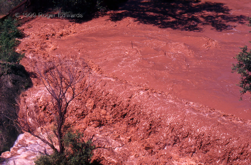
Multiple heavy-precipitation supercells rolled over Lubbock and vicinity the night before, with other storms dumping copious rains northward toward Plainview. Those deluges all caused extensive and deep flooding that closed Interstate 27, along with several other highways and streets. All that water had to drain somewhere, and a good bit of it roared off the Caprock into the White River, which clearly was misnamed on this day. Along the way, the raging floodwaters eroded countless thousands of tons of soft, bright-red Permian and Triassic sediments below the Caprock, carrying them in dense suspension toward the Brazos River. I’ve wondered if situations such as this gave rise to mythical “rivers of blood” occasionally referenced in classical literature and poetry. Regardless, one by one, events like these have carved the Caprock back a couple hundred miles from where it originally extended in North Texas and western Oklahoma, and have created the deep gorges that drain the modern southern High Plains, such as Palo Duro Canyon. Over a few million more years, the Llano Estacado, on which Lubbock and Amarillo are built, will erode entirely away from the east in northwest Texas, and more slowly from the west (Pecos River) in drier New Mexico.
5 E Crosbyton TX (12 Jun 99) Looking S
33.6657, -101.1586
