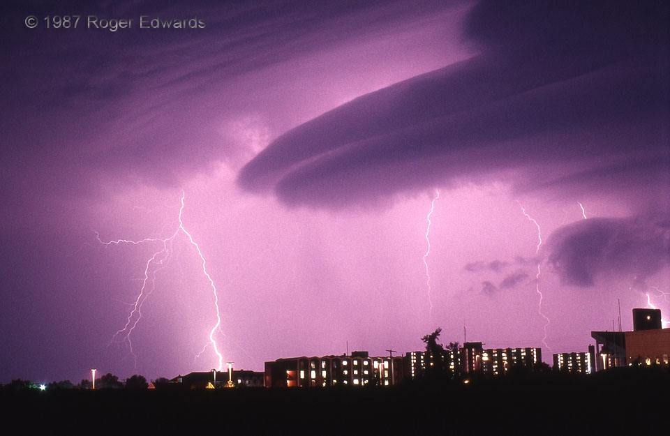
What can happen when 2 thunderstorms join? A laminar, striated arcus cloud and some powerful fireworks! There is a lot of great storm-scale meteorology in this picture. Note how the cloud base of the storm at left is forced upward, parallel to and above the arcus cloud. The arcus condenses in moist air being smoothly lifted above outflow expelled by an unseen storm off to the right. The beauty of its double-plated, laminar (smooth) appearance belies the danger underneath from wind and lightning. Where the outflows from the two storms collide, in the background, new cells form fast, prolifically sparking from rapid charge separation within. Merging thunderstorm cells are also well-known producers of localized heavy rain and flash flood events, and occasionally severe gusts and hail. Buildings in this photo are dorms on the OU campus, and part of the stadium (at right) as it stood in 1987.
Norman OK (9 Sep 87) Looking SW
35.2076, -97.4386
