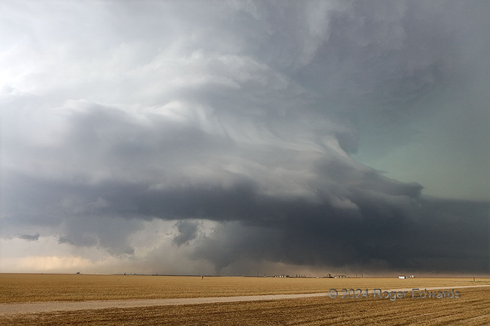
The dichotomy of the Great Plains tornadic supercell seldom manifest more than on this west Texas afternoon. A storm exploded over an outflow boundary and slogged southeastward across the Midland/Odessa metro, spawning a few tornadoes, causing swaths of wind and hail destruction (including, ironically, at the NWS office there), and yet, putting on a spectacular show for observers. This was just a few minutes into the early stage of the supercell’s most substantial tornado, a roughly 1/2-hour vortex that caused EF3 damage to oilfield equipment south of Midland. Fortunately no one was killed. Even this soon, the occlusion downdraft cut a deep and pronounced clear slot, but the tornado would last almost another half hour. Meanwhile, the supercell put on a stunning display of cloud forms aloft. Storm-structure and tornado combinations of this sort has been rare for me, and I absolutely appreciated every last second of this, until some large forward-flank hailstones started landing, bruised a chase partner’s arm, and chased us southward.
8 WSW Midkiff TX (30 May 24) Looking WNW
31.6089, -101.9775
