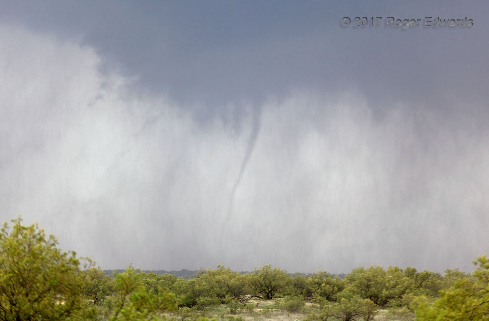
Despite bouts of furious rotation, the mesocyclone of the spectacular Wellington supercell only could condense brief funnels and a couple of small but unmistakable tornadoes during its journey across the eastern Panhandle. This little but lively tornado, seen here from several miles away with aid of a 400-mm zoom lens, buzzed around the broader circulation as part of a merry-go-round of otherwise very wispy and brief funnels, rapidly racing rain curtains, dust, and rotating scud tags. The tornadic circulation probably was a good deal larger and longer-lived than the visible part, since rising dust and rotating rain continued to intermingle for 5–10 minutes after the condensation funnel went away. If it hadn’t been over a road void, this is the sort of wet churn that might have spun up a vortex right on top of some unfortunate thrillseeker trying to punch the mesocyclone. Its distance from structures and observers was a blessing.
10 ENE Wellington TX (16 May 17) Looking NW
34.8973, -100.0274
