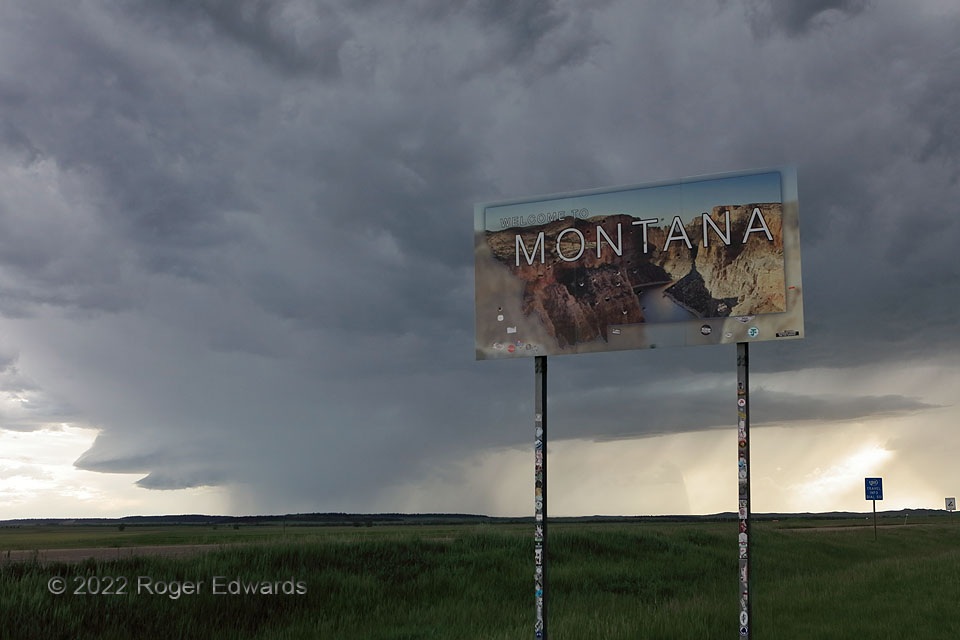
Standing just a brief sprint inside Montana from the Wyoming line, I found a fitting foreground for a wet classic supercell astride the two states’ border. The storm raced east-southeastward at over 50 mph from its early stages over extreme southern Montana, across the northeastern corner of Wyoming and into western South Dakota, ensuring my stay at this landmark (and any given stop along the way!) would be short, indeed. The storm’s fine structure at this point included a double “bell” formation on the inflow side at left, and a long tail cloud extending off to the right of a dense core (hook) temporarily surrounding the mesocyclone. Storm photography along state lines has been seldom for me (see AZ/NM, CO/NE, CO/KS, and TX/NM). Occasionally stepping over the 45-degree latitude line, which is a tiny bit north of the state line due to crude pioneer-era surveying techniques, I also was halfway between the Equator and North Pole.
3 SE Alzada MT (11 Jun 22) Looking W
44.9988, -104.3666
