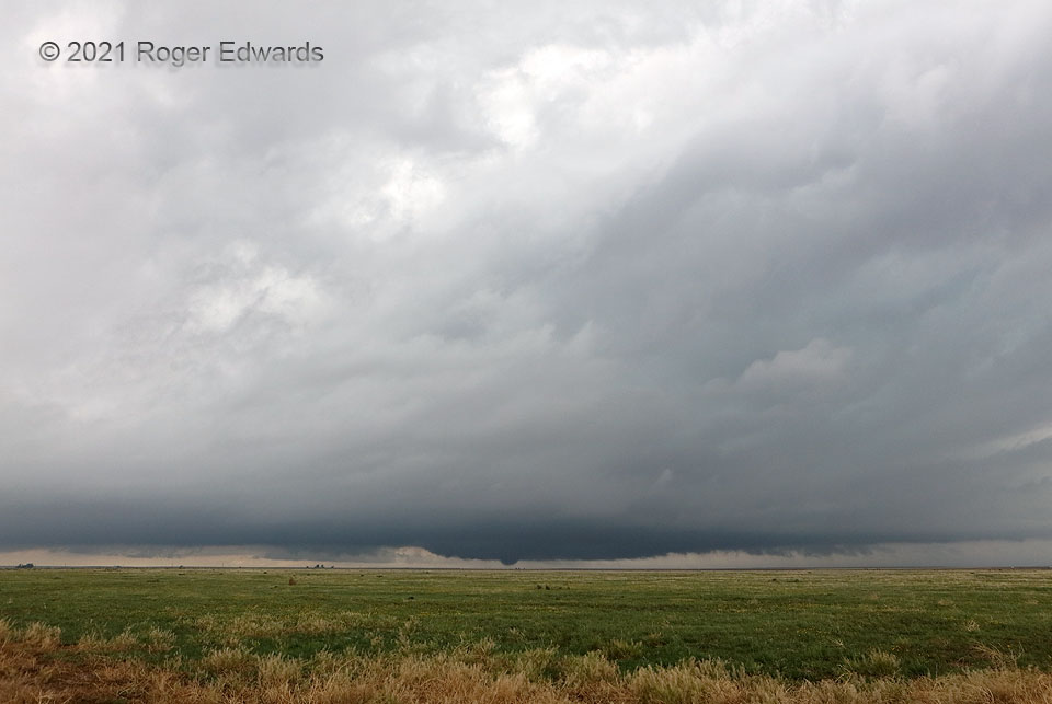
After several zoomed-in photos of the first Conlen tornado, I quickly grabbed the other camera for a wide view, during a bowl-shaped condensation phase that immediately preceded the tornado’s demise. Supercells on the immediate cool side of a warm front still may access surface-based instability, as this one obviously did by spawning tornadoes, but tend to have thicker intervening low clouds, lower storm bases, and fuzzier visible structures. Still, one clearly could see the broad, flat wall cloud around the tornado, as well as a tail cloud at right. The second of three tornadoes seen from this spot (and four total) soon would develop. A cloud slightly to the right of upper middle looks suspiciously like a bent funnel, but was neither rotating nor attached to a deep updraft.
4 W Conlen TX (30 May 21) Looking NW
36.2351, -102.3135
