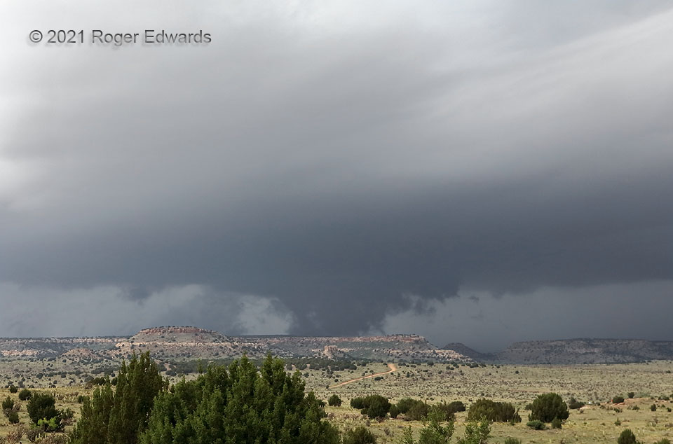
Glancing at this still image looking northwest, with no sense of motion, one may surmise this as a ragged-looking tornado; after all, it’s in about the right place: the inflow notch of a supercell, the main updraft and likely low/middle-level mesocyclone area, immediately upshear from the forward-flank tail cloud at right. In fact, it was a very slowly rotating wall cloud, mostly rising in motion as it ingested rain-cooled outflow from forward and rear flanks. Terrain (Black Mesa, highest in Oklahoma) truncated any view underneath. Three of us standing together at this location, with a hundred years of combined storm-observing experience (Rich Thompson, Bill Reid and I) had no concern at all of this being tornadic at the time, though it certainly was well worth unbroken attention in case it ever wrapped up quickly. Yet some chasers not far from us wrongly reported this as a tornado. After the fact, I conferred with meteorologists from NWS Amarillo to assess and debunk multiple bogus tornado reports from this supercell in the northwestern Oklahoma Panhandle, when in fact it only had produced one, over an hour earlier in Colorado.
4 E Kenton OK (28 May 21) Looking NW
36.8979, -102.8884