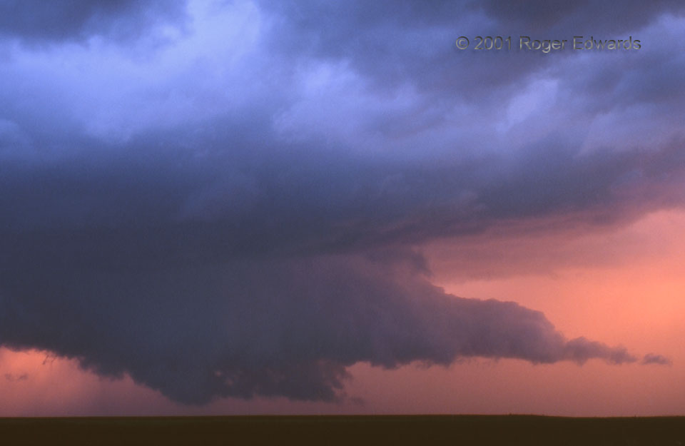
Just because it was past peak, in terms of color, doesn’t mean the Childress wall cloud of 2001 still wasn’t amazing to witness. Now largely silhouetted against reddened light that very soon would vanish, the base lowered and rotated slowly, never producing what would have been a most interesting tornado to shoot on slide film. The thick tail cloud briefly converged quickly into the main mesocyclone area; alas, outflow soon undercut the entire process.
3 WNW Childress TX (2 May 1) Looking SW
35.4544, -100.278
