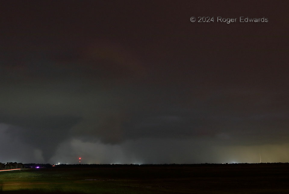
Two tornadoes from a separate, elongated mesocyclone region became rain-wrapped to the NNE (distant middle right), with at least part of the bigger tornado’s condensation funnel still visible through rain at distant middle. As I was losing easy views of those tornadoes, a separate and older mesocyclone near Union City, at left, was producing a tornado already; its cone came into clear view while my attention and camera still were aimed to the more-northeastern area. Fortunately, all this action was swirling in a part of the storm moving across the view or away from me, and I could continue to observe with no fear for my own safety. The streak of light at far lower left of this short time exposure is a vehicle headed northward on US-81. I wonder if the driver could see, or otherwise was aware of, the cone tornado ahead, which would move slowly, erratically and mostly westward for the rest of its lifespan.
2 NNE Minco OK (19 May 24) Looking NNE
35.3393, -97.9337