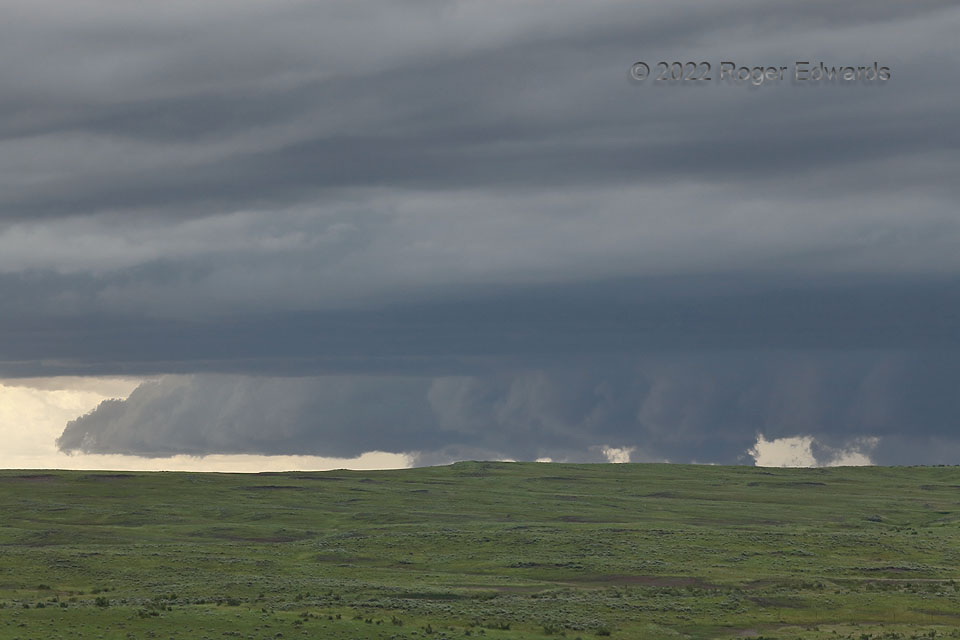
Though the storm still was distant, the Big Sky Country clarity famously came through. A deep zoom across a roadless and inaccessible area traveled much further than I could, bringing out interesting features of a then outflow-dominant supercell churning its way along the Wyoming/Montana borderlands. Above and in front of the storm: undular warm-advection clouds, darkened by shadowing from the deep storm. Below: the rolling, muscular hills adjoining the Powder River Valley, across which the supercell was crossing at this time. The entire scene was somewhat eerie, partly because the hills truncated a complete view below the bases of lowerings behind a hybrid wall and shelf cloud that had weak rotation and strong vertical motion. None of the lowering were rotating fast, so I had no reason to claim nor suspect a tornado, despite knowing via distant radars (before I entered the cellular void here) that the storm had a persistent, well-developed midlevel mesocyclone. It proceeded eastward then east-southeastward rapidly, following a track very similar to the smaller “boundary supercell” the previous day.
14 W Alzada MT (12 Jun 22) Looking WSW
45.0307, -104.7151
