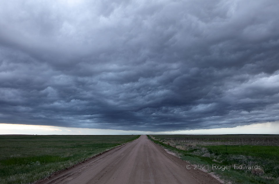
Storm-intercept days often end with a rush of outflow, from clustered storms that merged upscale from the hours-earlier convection that brought about the chase in the first place. Such was true here. A pool of rain-cooled air, trailing from a dying storm cluster formerly composed of supercells and multicells, created an arcus cloud that was rather fuzzy and featureless from the outside, but wondrously turbulent and textured beneath. This slate blue-gray palette is one of my favorites in the sky, especially when dappled to widely varying luminosity by the roiling cloud base. Twilight accentuated the tones.
4 ESE Cope CO (22 May 21) Looking S
39.6549, -102.7828
