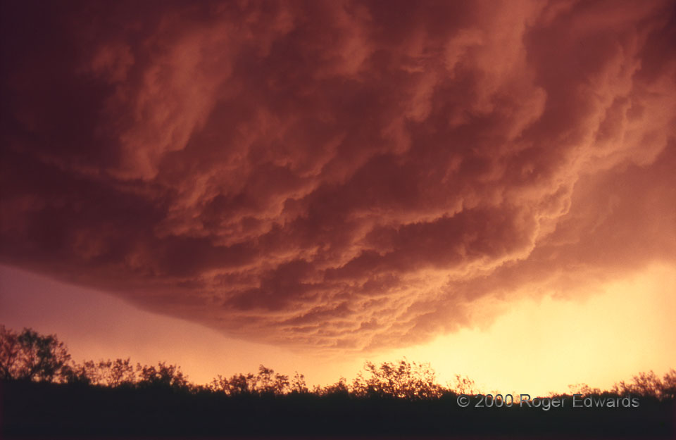
The setting sun’s warm-colored rays were filtered and softened by a thin rain core at right before being reflected, in turn, off the ragged base of the arcus cloud overhead. The storm began as a high-based, weak supercell, then became “Tail-end Charlie” for a long squall line. It saved its most stirring visual display for its dying, gusting-out phase, proving that outflow can be beautiful (despite other storm enthusiasts’ melancholy lamentations to the contrary).
6 NNE Red Springs TX (15 Apr 0) Looking SW
33.7039, -99.3968
