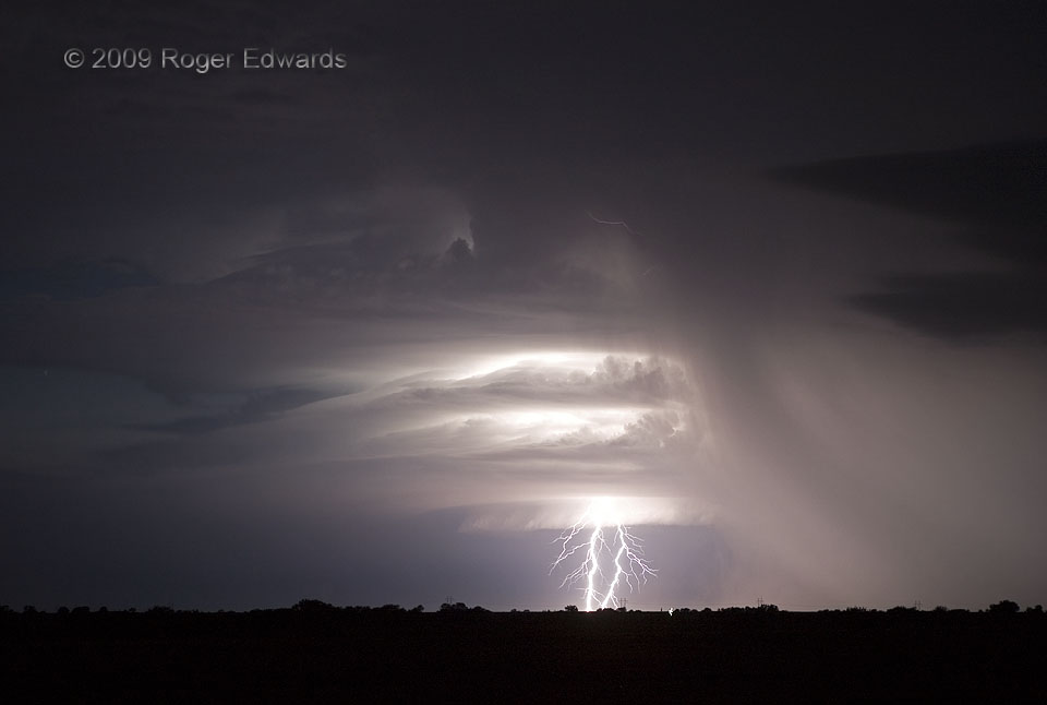
Well-structured July supercells are uncommon in these parts, but we found one on the way back from a trip to Colorado. During daylight, and back in southern Kansas, the storm’s prolific production of “dry” lightning (away from the precipitation regions) set numerous fires. After sundown, the storm turned hard right, moving almost due south (right to left), and headlong into a modest low-level jet, in order to maximize its own inflow. Still, the supercell weakened because of a loss of instability. Its last electrical hurrah was the two brilliant cloud-to-ground strikes in this wide-angle shot, the in-cloud part vividly illuminating both the striated cloud features and the precipitation cascade of the forward-flank area.
6 NW Tonkawa OK (20 Jul 9) Looking WNW
36.7547, -97.3546
