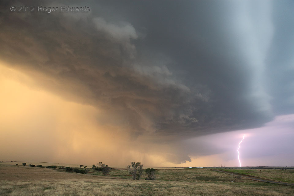
This complex convective cluster had a lot to offer the attentive observer! A wall cloud and weak mesocyclone headed eastward with the more northern, distant updraft, still accessing somewhat undisturbed inflow from the more precip-infused nearer storm. The latter sported a vigorously rotating cloud base in the foreground, around which copious rain and probably some hail were orbiting. Te spin was just tight enough to make us think it could produce a tornado, but the precip was too cold and too much to let it. Through it all, warm sunset tones filtered, casting a bronze hue across the scene–punctuated by a bright blast of anvil-to-ground lightning in front of the farther mesocyclone.
N Burns Flat, OK (19 May 12) Looking N
