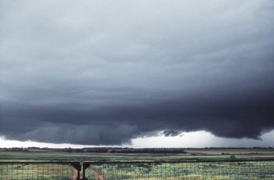
Two rotating wall clouds revealed twin low-level mesocyclones on the southwest side of a classic, cyclic supercell. The broad one to the left had been rotating, sometimes rapidly, for nearly an hour (without producing any known tornadoes). The one on the right formed on a storm-scale occlusion triple-point northeast of the original; it lasted another 30-45 minutes and yielded only a funnel. That frustrating storm typified late-’80s chasing on the southern Plains. This was during two notorious streaks in my storm-observing career:
- 14 consecutive storms with well-defined low level mesocyclones observed in the spring of ’89 which failed to produce a tornado, and
- 61 straight storm intercept trips of mine over a 6-year period with no tornado.
3 SSE Vernon TX (16 May 89) Looking W
34.0983, -99.2722
