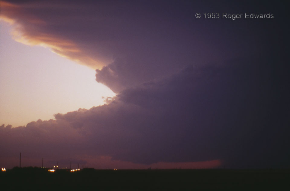
 An unusual July chase in an unusual spring storm season: 1993. Characterized mainly by an extensive and seemingly unrelenting series of flooding rainstorms and convective clusters across the Midwest and east-central Plains, including Kansas and Missouri, the storms of July were a last hurrah—a capstone on a year of flooding and destruction. This represented a fitting finale: a late-forming, classic supercell along a dryline’s intersection with an outflow boundary from an earlier convective complex. The supercell didn’t last very long before losing definition, emitting a brief but scenic lightning show, and being absorbed into a larger complex to the northeast that went on to produce (you guessed it) heavy rain. In the meantime, though, travelers along I-70 in west-central Kansas were treated to an eerie spectacle in the twilight!
5 ESE WaKeeney KS (2 Jun 93) Looking W
38.9972, -99.791
An unusual July chase in an unusual spring storm season: 1993. Characterized mainly by an extensive and seemingly unrelenting series of flooding rainstorms and convective clusters across the Midwest and east-central Plains, including Kansas and Missouri, the storms of July were a last hurrah—a capstone on a year of flooding and destruction. This represented a fitting finale: a late-forming, classic supercell along a dryline’s intersection with an outflow boundary from an earlier convective complex. The supercell didn’t last very long before losing definition, emitting a brief but scenic lightning show, and being absorbed into a larger complex to the northeast that went on to produce (you guessed it) heavy rain. In the meantime, though, travelers along I-70 in west-central Kansas were treated to an eerie spectacle in the twilight!
5 ESE WaKeeney KS (2 Jun 93) Looking W
38.9972, -99.791Twilight Tempest
 An unusual July chase in an unusual spring storm season: 1993. Characterized mainly by an extensive and seemingly unrelenting series of flooding rainstorms and convective clusters across the Midwest and east-central Plains, including Kansas and Missouri, the storms of July were a last hurrah—a capstone on a year of flooding and destruction. This represented a fitting finale: a late-forming, classic supercell along a dryline’s intersection with an outflow boundary from an earlier convective complex. The supercell didn’t last very long before losing definition, emitting a brief but scenic lightning show, and being absorbed into a larger complex to the northeast that went on to produce (you guessed it) heavy rain. In the meantime, though, travelers along I-70 in west-central Kansas were treated to an eerie spectacle in the twilight!
5 ESE WaKeeney KS (2 Jun 93) Looking W
38.9972, -99.791