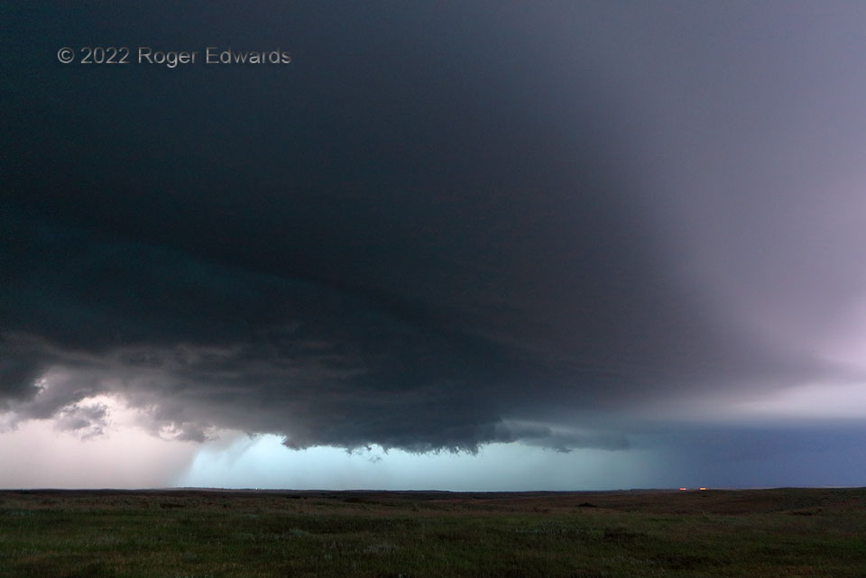
A weird storm sky flashed before us in deepening twilight. A large, late-developing supercell’s main updraft area and shallow wall cloud (lower middle) spun decently but never tightened to tornadic strength, while in-cloud and in-core lightning flashes faintly illuminated the cloudscape from within. Meanwhile, what was left of high-level sunset color somehow found its way down through the dense, rear-flank precip core at left, imparting a pink tint. Such large precip volume in a supercell’s backside signals heavy-precip transition is imminent for the storm as a whole. With the storm taking a hard-right turn southward, and us parked near a long east-west road with no other options, we had to get out of the way momentarily. Intense wind, severe hail and flash flooding accompanied the resulting, Pac-Man-shaped supercellular blob southward across that highway (after our narrow escape westward), and on into northern Oklahoma.
7 SSW Sun City KS (5 Jun 22) Looking NE
37.2838, -98.9632
