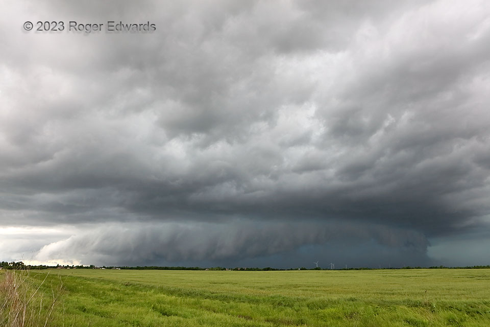
A few days before, I had lost a cherished storm-observing vehicle to a huge buck in eastern Colorado. Unhurt from the wreck, but more than a little sore at having missed a couple nice Great Plains tornado days while stuck in the cold rain of Denver waiting for a rental to become available, I trudged home on this day…just in time to catch this consolation prize: heavy-precipitation (HP) supercell related to a mesoscale convective vorticity lobe (MCV) rolling up from southwestern Oklahoma. It presented this beautiful and imposing front, but for just a short time before rolling quickly past me to the west. The supercell’s northward-moving rear flank soon would blast a wall of wind through those turbines in the distance, along with embedded hail and heavy rain.
1 E Tuttle OK (13 May 23) Looking SW
35.2904, -97.7843
