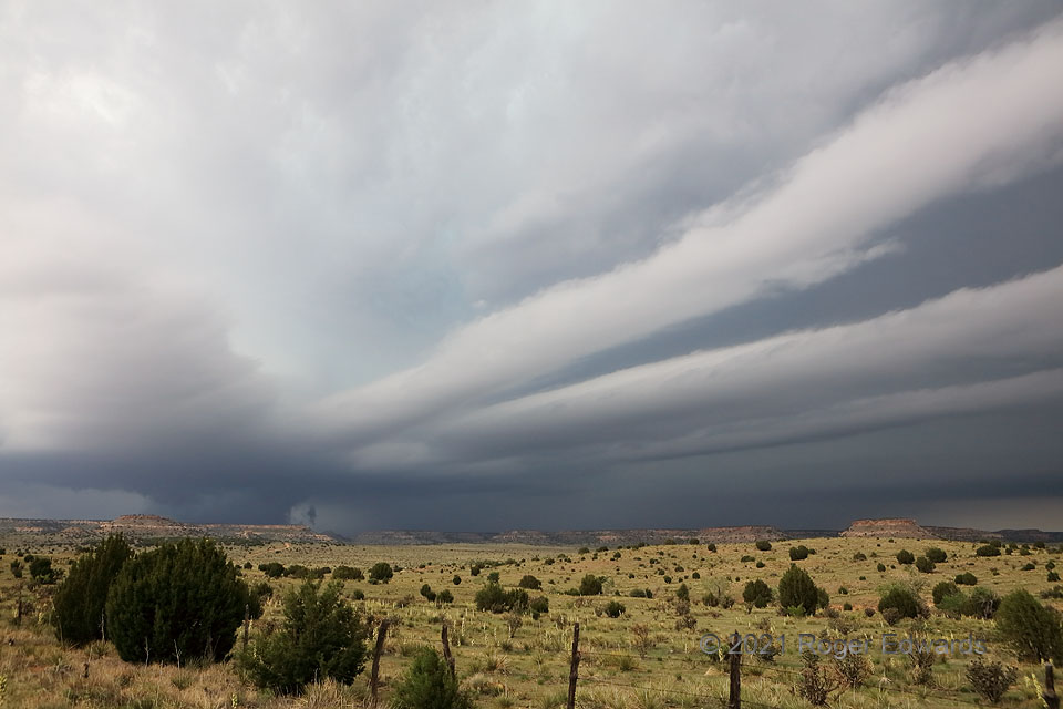
A triple tail cloud is not to be confused with the saltwater “tripletail” fish. Though those are fun on the hook, and hard fighters for their size, I prefer this kind of “catch”. For as many supercells as I’ve witnessed, this much discrete tail-cloud banding has been extraordinarily rare—and combined with such great length, it was unique. The remarkable storm formed in southeastern Colorado, dove south-southeast while producing a rain-wrapped tornado and sweet structure, then offered some tornado-lookalike action as it crossed Black Mesa country of the northwestern Oklahoma Panhandle. This rugged, road-sparse, juniper-festooned part of the High Plains offered a fitting and nicely textured foreground for the soft, yet menacing and otherworldly, appearance of three tail-cloud bands extending eastward off the updraft base. A fourth, detached cloud band appears in the forward-flank core at distant right. Meanwhile a dense precip core surrounded the slowly rotating low-level mesocyclone, with a lot of scud rising (but not spinning!) into the cloud base from somewhere near ground level.
4 E Kenton OK (28 May 21) Looking NW
36.8979, -102.8884
