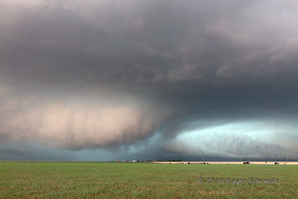
[Part 2 of 4] After observing acceleration and intense motion in this supercell’s strangely shaped and colored tail cloud, the oddly colored wall cloud at lower left formed along the wrapping HP gust front of this storm to my southwest, raced northward, and began spinning and tightening rapidly as it encountered the high-helicity, backed-flow environment feeding the larger, older mesocyclonic circulation to its west (to its more-distant rear). Meanwhile the streamwise-vorticity current along the forward flank, partly manifest as the tail cloud, still roared inward at right rear, at astounding speed. With all this vorticity and convergence becoming focused in that middle area, I thought a tornado could form at any instant, but how visible would it be with all the surging precip pulling northward quickly around the broader circulation’s east side? What would happen when the rotating wall cloud and the bigger, older mesocyclone interacted? This was fascinating to behold for the limited time I had to do so… [Go to part 3]
4 WSW Vigo Park TX (7 May 19) Looking WNW
34.645, -101.5644