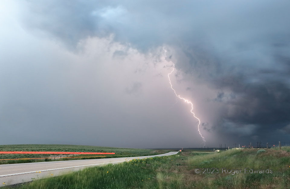
And we meet again! I observed and photographed this storm in three High Plains states. The same supercell that formed in Wyoming, and became spectacularly tornadic in Nebraska just outside Colorado, would end up in Nebraska again after crossing northeastern Colorado. Along the way, I caught up once more, northeast of Sterling, for a brief but brilliant show of rain-shrouded pyrotechnics in its densely cored rear-flank downdraft (RFD). The mesocyclone area is at lower right in this 8-second exposure, which brightened the deepening twilight. Travelers on this highway (US-6), like the one whose taillights I caught for a few seconds, and I-76 a few miles to the north, weren’t enjoying this stretch of the journey very much. Aside from its lightning barrage, the RFD held severe winds and hail, and was best avoided.
8 SSE Iliff CO (28 Jun 23) Looking NE
40.6503, -103.043
