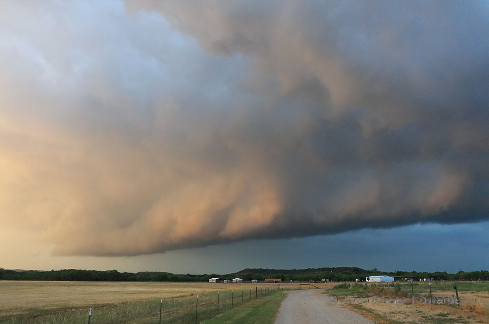
A storm evolving from a nearly tornadic supercell to an outflow-driven multicell passed over an uneven landscape transitioning from the southeastern Great Plains to the northwestern Hill Country, during the change from day to night. Right before sunset, the filtered warm rays caught the inner rim of a shelf cloud that still had convective elements, thanks to a remnant midlevel mesocyclone still swirling overhead. This was another among countless many unique sky and land combinations available to the intrepid observer who wanders the vast landscapes of the central U.S. during any or every springtime.
5 SE Early TX (6 May 23) Looking NNE
31.7169, -98.88
