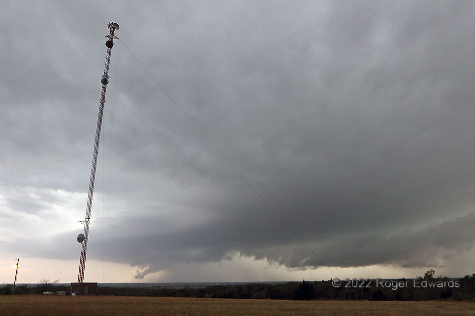
Dropping south of the deeply wrapped Gracemont/Tuttle/south OKC supercell, I aimed to see a trailing storm moving out of the Chickasha area before it was interfered too much by the gust front surging from the northern storm. That gust front can be implied at right, with a shelf cloud above it. Meanwhile the trailing heavy-precip (HP) storm looked as good as it ever would. A newer, also messy HP supercell would emerge from the combination of these features at twilight, east of here near Goldsby. On a high spot that otherwise would be ideal for viewing, this communications tower and its guy wires irritated me, an unpreventable nuisance at the time that turned out to provide an interesting sense of scale later, when looking back on this wide-angle view.
3 S Newcastle OK (23 Apr 22) Looking WSW
35.1973, -97.6
