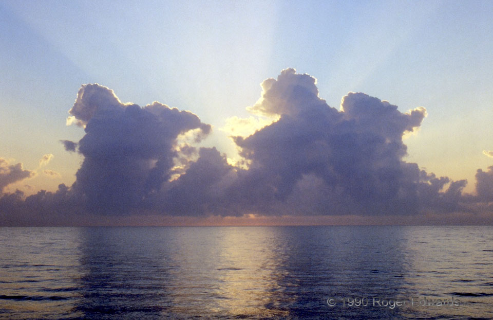
Land-breeze towering cumulus clouds bubbled offshore in the morning as I fished off Haulover Pier. Amidst weak low level flow, as the land cools faster than the water, dense and relatively cool air flows seaward late at night and near sunrise. Lift along the edge of this land-breeze front forms convective clouds like these, which can become strong thunderstorms if there is even more lift and/or instability. Near a north-south coastline—such as in South Florida, lift along the land-breeze front is usually strongest when the low level winds otherwise are from the east—directly toward the front. This scene was a tranquil tropical treat. When pondering what to do with a big guitarfish just caught, on a south Florida pier, in 1990, why not pull out the old slide camera and snap a picture—of the clouds! I kept and ate the peculiar fish, by the way; it was quite delicious.
North Miami Beach FL (20 Feb 90) Looking E
25.9302, -80.1186
