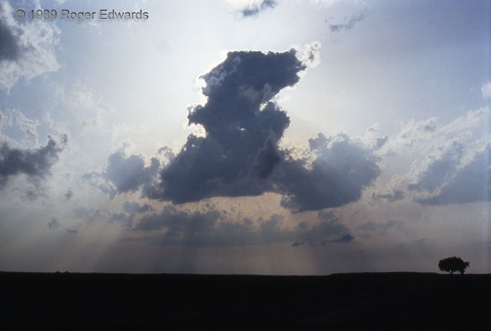
This is a much different breed of towering cumulus than the maritime version from nine months later and over a thousand miles southeast. Here, unlike on a land-breeze circulation, the low-middle level flow was strongly sheared, causing the tilt. The cloud looks less robust than the previous example because it was drawing in dry air from west of the dryline, on which it formed. This dry entrainment ultimately killed the whole cloud by evaporation. A nice arrangement of crepuscular rays surrounds it, too.
4 SE Guthrie TX (13 May 89) Looking W
33.5882, -100.273
