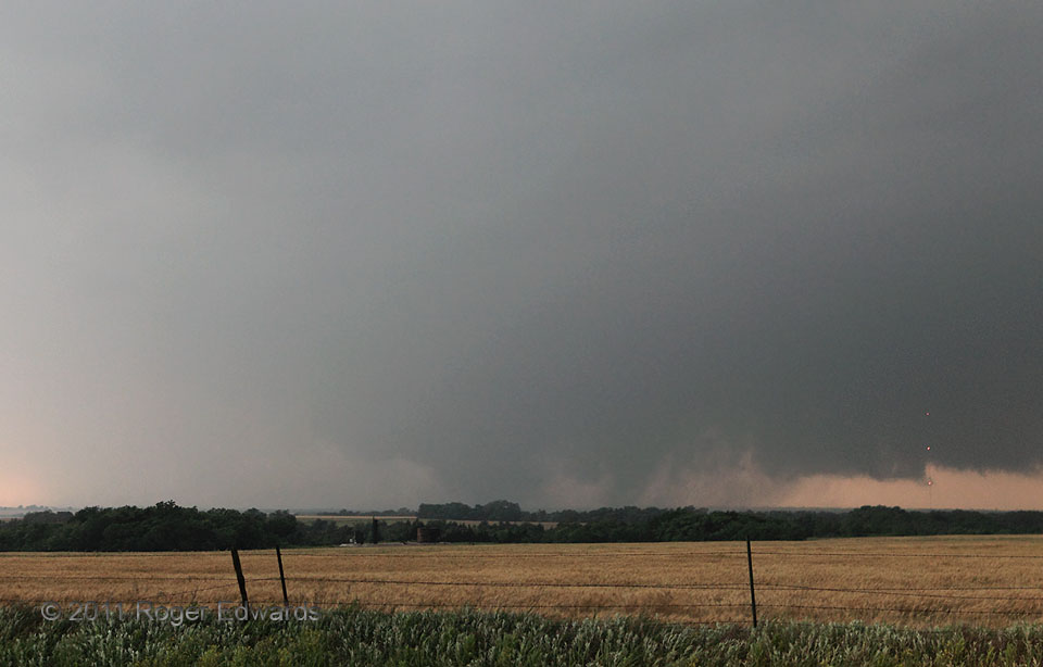
Shortly after arriving to this high spot, we began peering intently in the direction of a reportedly long-lived and large tornado west and north of El Reno. It finally came into view through the darkness, humid haze and wrapping rain. At the time I thought that it was a single tornadic circulation with two unusually stout-looking subvortices. Instead, later mobile-radar and WSR-88D analysis showed that the thick cone on the right had been a completely separate tornado that had formed in the forward-flank/inflow interface, a few miles north of the mesocyclone of the longstanding “El Reno-Piedmont” tornado at left. The newer vortex intensified as it was drawn into the main mesocyclone, now acting as a satellite tornado, whereupon they briefly followed curved paths around each other. To me, it appeared one vortex went behind the other and disappeared. In fact, the original tornado weakened somewhat but remained coherent, and then both tornadoes (by then near equals in radar-indicated strength) physically combined—the first true tornado merger ever measurably documented in scientific literature. [I reviewed the paper and offered supporting photos, about which the authors didn’t yet know but were glad to use!] The combined vortex then expanded and strengthened again, becoming a violent wedge around which we would witness at least one more, smaller satellite tornado. Given the physical continuity of the mesocyclone and main tornado throughout the process, and no gap in tornadic damage, it was counted as one long path, with the satellite tornado ending upon merger.
4 WSW Piedmont OK (24 May 11) Looking WSW
35.6213, -97.8159
