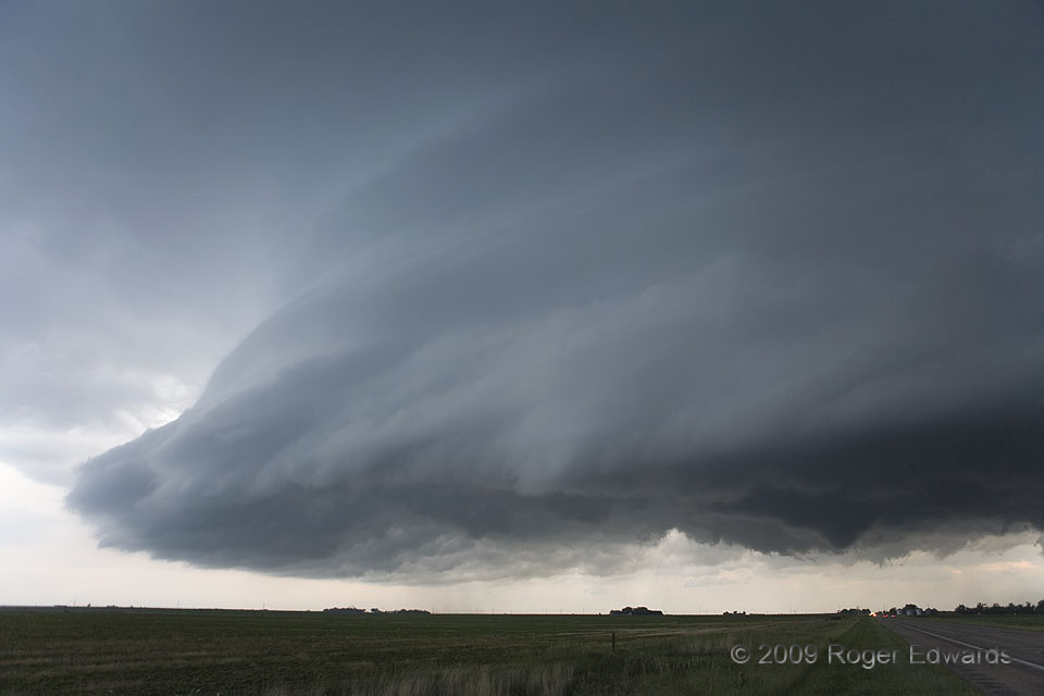
Over four hours and two hundred driving miles after observing a fantastic supercell in northeastern Kansas, here we were standing before another one, this time a strikingly beautiful yet menacing beast bearing down on us with a growing, bulbous funnel in tow. Within less than 30 seconds, the funnel cloud would become the first of two photogenic tornadoes we witnessed between Grand Island and Aurora. Conveniently, this storm waited until after it had passed over Grand Island to produce those final couple in a series of tornadoes that started with some we saw in the distance back in Buffalo County. In reality the edge of this storm’s cloud base was not far from overhead, so I had to shoot two widest-angle shots (right-side view here) to capture it all.
5 ESE Phillips NE (17 Jun 9) Looking WSW
40.8729, -98.1325
