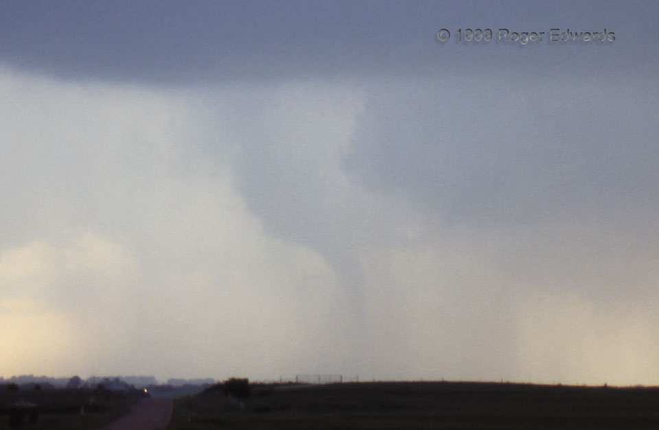
[Part 2 of 3] The Belmont tornado’s condensation funnel barely could be viewed through curtains of rain wrapping around what was left of the low level mesocyclone. A wide-angle view reveals surrounding supercellular structure. This condition is uncommon but not rare in Kansas, where visibility typically is good. Imagine this in the eastern U.S., however, hidden behind trees, making for much-more-difficult spotting! Inexperienced or inattentive spotters and chasers could drive into something like this rather easily, especially if there were even more rain or less of a condensation funnel present. This is one of a relatively few HP (heavy-precipitation) supercell tornadoes I have witnessed; though I have been closer to a couple that were hidden. Even though this was shot in 1999 with slide film, modern digital cameras can help with picking out rain-wrapped tornadoes. Be sure to look both at the suspicious area (especially for power flashes) and the viewfinder, which often can reveal what’s in the rain better than eyeballs. [Go to Part 3]
8 ENE Belmont KS (16 May 99) Looking W
37.5618, -97.8671
