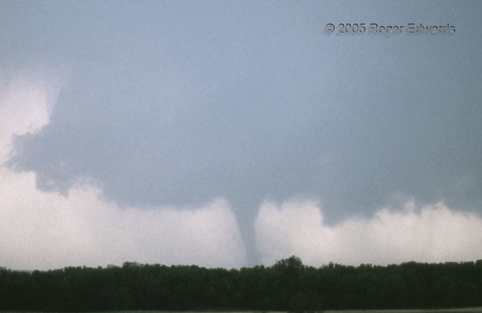
The Hill City tornado from 2005 is shown here with its ambient wall cloud, a couple minutes before a somewhat more-zoomed shot, using the same unknowingly and unexpectedly grainy roll of slide film. Still, this supercell offered us a memorable afternoon of storm observing, starting with the eruption of this supercell just east of the dryline, and several miles southeast of our position at the Colby library. The days of unforgiving and sometimes bad slide film, and visiting libraries for online access to meteorological information, are long gone. I am thankful; yet, such a stop paid off on this day, in the form of satellite imagery and surface data that assured us we were within a county or so and an hour or less of of storm initiation.
3 ENE Hill City KS (9 Jun 5) Looking SW
39.3753, -99.7847
