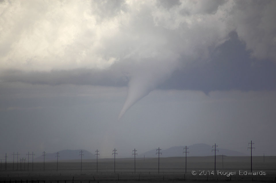
Although we had been keeping close watch on this supercell for nearly two hours, we looked away and turned the vehicle southward to watch a newer, more visually energetic supercell to the southwest with a well-developed and slowly rotating wall cloud. A third storm’s left (north) side had sent a gust front laden with cool outflow air past us and northward toward the storm you see here, and the flat, high base further lowered concern for anything like this. Imagine our shock, then, when…lo and behold, after we parked to watch the newest supercell, we glanced back to find a tornado in progress! Afterward, I figured that cyclonic vorticity and lift along that gust front became juxtaposed with this storm’s previously non-tornadic mesocyclone, and…voila! I’ve seen a tornado come from that very same type of process–a left-moving gust-front ingested by a right-moving supercell–once before: on 29 May 2012, just northwest of Oklahoma City.
1 S Abbott NM (6 Jun 14) Looking NNE
36.2909, -104.259
