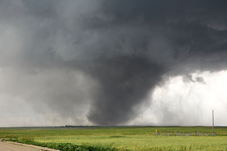
As the prominent Kimball tornado grew slowly closer, some of the dust settled, and the circulation also took on more rain. I don’t think the tornado narrowed yet; it simply shed some of the dust it had lofted and centrifuged, which still made the vortex look somewhat bigger than it was. It also tilted more, lending this classically spectacular tornadic appearance. At this stage, vehicles in the outer “tornado cyclone” (the closed circulation within the mesocyclone and around the tornado, but not quite at tornadic wind strength) likely would have been pelted with drops and blobs of mud. Another among several very close lightning strikes sent me back to the vehicle for a couple minutes, hoping the electrical barrage would calm down, so I could snag a few more photos before having to leave this otherwise nice viewing spot. During that stage, a couple observers on the other side videotaped lightning striking within the tornado’s dust column.
14 SSW Kimball NE (28 Jun 23) Looking WNW
41.0327, -103.6865
