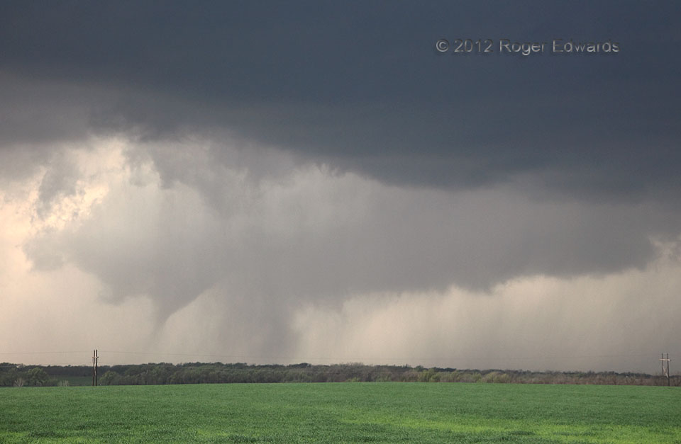
After two supercells merged to assume a big bell shape, the resulting combined storm produced a very brief, anticyclonic tornado on its south flank, while the main mesocyclone wrapped in rain, occluded and dissipated. The second mesocyclone following the merger was more productive, spawning two tornadoes, one of which I was able to shoot decently. Here, the early stages of that vortex can be seen as a tilted, tapered cone with some dust, beneath a clear slot manifesting a deep occlusion downdraft cutting around the south side of a broad, messy, rainy wall cloud. The visible part would thicken somewhat before the tornado expired.
5 ENE Willow OK (18 Mar 12) Looking WNW
35.059, -99.4132
