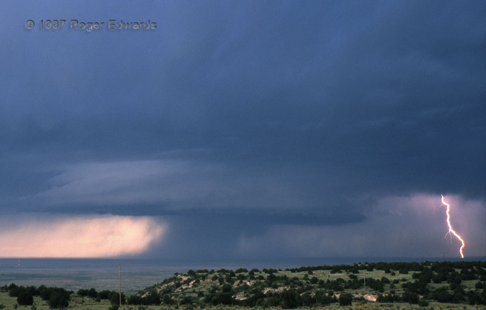
A large, high-based, slowly rotating wall cloud drifts over the Canadian River Valley of northeast New Mexico, as seen from atop the 4900-foot Caprock overlook near San Jon. I love High Plains supercells; and this scene is one reason. Note the dark precipitation core behind the wall cloud and lightning strike. The outward thrust on its bottom left indicates intense winds characteristic of a microburst. Numerous lightning strokes occurred, both in the same area as this one (forward-flank core) and between the wall cloud and the rear-flank precipitation core. Both are notorious zones for cloud-to-ground (CG) lightning barrages in supercells. One of the rear-flank strikes later started a brilliant prairie fire that blazed for over an hour.
8 SSW San Jon NM (29 May 97) Looking NNE
34.9844, -103.362
