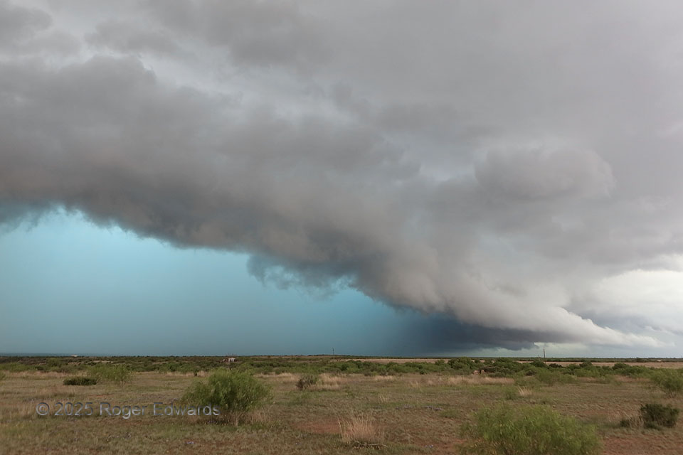
Skies like this are stunning in their form and tone, but mean something decidedly unseemly in that deep, dark and swirling world “in there.” We had witnessed a less rain-wrapped stage of this storm, knew it could mean trouble, and barely managed to catch back up. On the opposite side of the big, messy supercell, near Munday at this time, a mesocyclone unleashed a measured, 106-mph gust west of Seymour, amid what the local storm report termed, “frequent gusts over 90 mph between 700 and 709 PM.” That’s a stiff breeze even for Texas, damaging farms and busting a wind turbine. A later rain-wrapped tornado from that circulation was invisible even to those desperate fools who tried to penetrate the mesocyclone, and certainly to those of us on the safer side. Watching this for just a few minutes (the storm moved fast, and outflow already reached this site), I was reminded of the hackneyed but often true cliche that history doesn’t repeat itself, but often rhymes, hearkening back to a storm in north-central Kansas ten years before.
6 SE Weinert TX (29 Apr 25) Looking N
33.2704, -99.5978