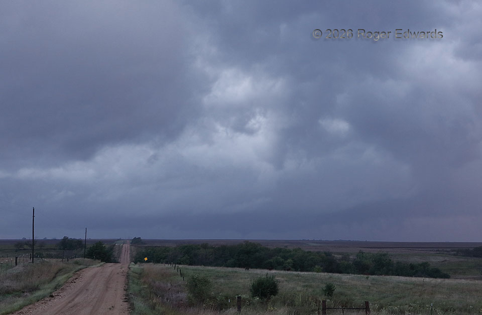
At first, this may just look like moist, hazy, low-light/twilight murk, with just the faintest hints of sunset light still remaining at lower right. For much of my time attempting to observe this storm, it was. Still, it offers a valuable spotting lesson in this day and age of onboard data: know where the mesocyclone is, and how it is moving, and stay focused on it. I had left a bit late anyway, then gotten distracted for a couple hours by two small nontornadic supercells along the way — the first of which cranked up right outside my car window (near and northeast of Wichita). Those “sucker storms” (every experienced chaser can relate) made me miss several more tornadoes with this event in central Kansas, and see the last few only in far-away, low-contrast form. This small but productive supercell moved into a paved-road void right as I arrived in the area, with little daylight left. The unpaved roads were in progressively worse condition westward with muddy ruts, due to recent heavy rains. The slow speeds I would have needed to stay on this slop in my vehicle meant that attempting to get closer was pointless, and even my four-wheel drive with good, months-old rain/mud tires still could have become “four-wheel slide.” Fortunately, this cone was the second of three brief, distant tornadoes I somehow and barely did see, and the only one of which I got a passable photo that doesn’t require extreme contrast enhancement to bring out. It was about as much of an unsatisfying “sister kiss” of a tornado day as I’ve ever had.
5 NNW Lincoln KS (30 Sep 26) Looking WNW
39.1175, -98.1698