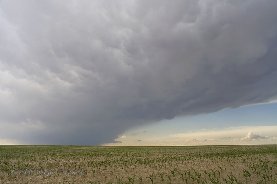
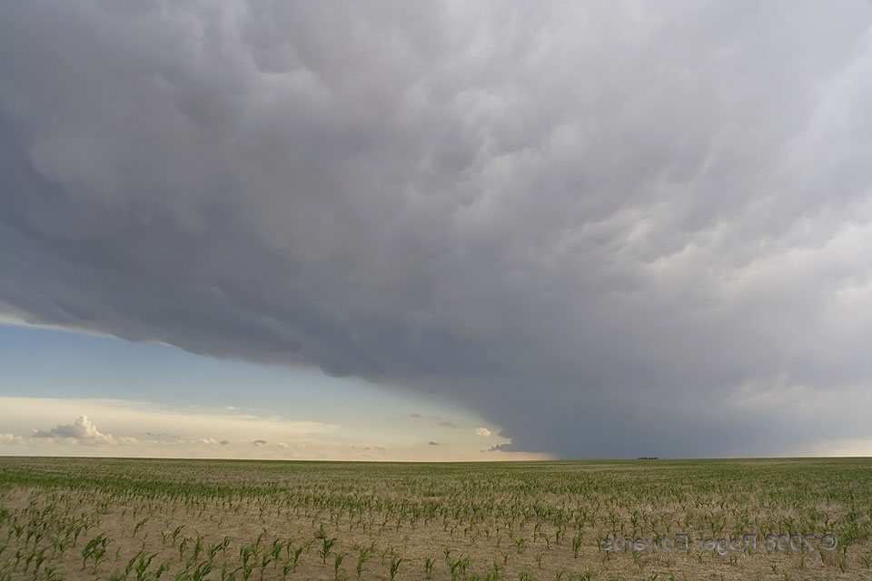
 What is the deal with looking NW at photogenic, anticyclonic, left-moving supercells, amidst NW winds aloft, in Cheyenne County, CO? I had to wonder, observing another one six years and four days after the first. As in that case, I’ll present the actual wide-angle view (left) and mirror image (below) for conceptual comparison. Unlike the one in 2002, a Monthly Weather Review article probably won’t result. This storm was less intense, more distant, didn’t follow previous convection, and developed in a more muted shear environment. Although the supercell structure itself was not extraordinary, I liked the whole-scene composition of the storm’s broad, muscular anvil sweeping past a notch of clean blue sky, beyond the wide-open High Plains expanse of tan soil and young corn. The cumulus cloud line in the distance formed along the N edge of the anvil shadow, in a zone of differential surface heating.
6 E Arapahoe CO (19 Jun 8) Looking NW
38.8578, -102.053
