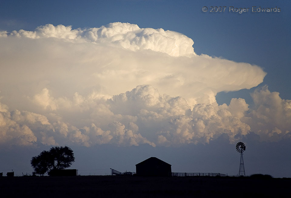
This explosion of Lone Star convective power dominated the southern sky, partly making me dream I were beneath, but ultimately keeping me glad to see such an impressive thunderhead unfold from this vantage. This storm thrust skyward a gigantic convective mass spreading far above the level of the cumulonimbus anvil that was backshearing toward the near right (WNW). The sheer volume of overshooting material that this storm was pumping into the stratosphere might be the greatest I have seen, among hundreds of supercells witnessed over two decades of storm observing. [Beneath was a heavy-precipitation (HP) hail machine that turned hard to the south off an outflow boundary, and also spawned a couple of rain-wrapped tornadoes.] Every season brings new discoveries and at least one or two skyscapes that blow me away, and this was one for 2007. Framing the storm beyond a classical Great Plains silhouette turned a meteorological wonderment into a photographic pleasure.
2 NW Dalhart TX (2 Jun 7) Looking SSE
36.0846, -102.551
