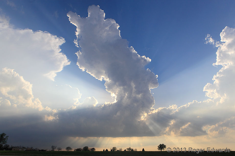
A classical towering cumulus (meteorological acronym: TCu, as opposed to TCU the university) shoots skyward in a low-level convergence zone connecting other, larger areas of convection. Storm observers who can see through towers don’t assign them much of a future, and for good reason; they are entraining dry air aloft. Still, the shifting crepuscular rays helped to make the scene splendid as we awaited interesting developments with the deeper convection farther SW.
2 S Seminole OK (15 April 13) Looking W
35.1981, -96.6748
