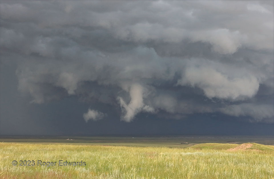
The former Horse Creek supercell moved east of the Laramie Mountains and out onto the bluff-studded High Plains of southeastern Wyoming, catching up again to an excellent vantage I had secured northeast of Cheyenne. Moving quickly eastward (toward the right), it developed a short-lived, slowly rotating, yet distinctive funnel cloud beneath an even more ragged wall cloud. By this time, the storm had become somewhat outflow-dominant, with the rear-flank gust front having just passed my location. Still, the low-level mesocyclone had a narrow channel of boundary-layer inflow on the east side, corresponding to the lowest cloud deck behind and to the right of the funnel. The supercell never came closer to “planting one” than this, and if there was a circulation on the ground beneath, I saw no evidence thereof, and it was too weak to call tornadic. Still, it was a blessing to be atop these bluffs, gazing across a vast valley at a dynamic, Great Plains supercell base.
10 SW Meriden WY (29 Jun 23) Looking N
41.4393, -104.4573
