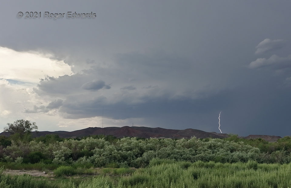
Looming over low mountains across the Rio Grande from Hatch, NM, this peppy little southward-moving supercell spun for about an hour before being overtaken by outflow-dominant convection farther northeast. Wait, what? A supercell in southern New Mexico in mid July? You bet! Though flow aloft wasn’t especially strong, a dominant northerly component atop southerly surface flow (and enhanced locally by this and nearly storms) led to enough deep shear to support about an hour of modest storm-scale rotation here, evident in cloud structures and seen on Doppler radar imagery out of Santa Teresa. Cells farther southeast, over the San Andres and Organ Mountains, would aggregate and kickstart a wild-looking and severe haboob within an hour. Monsoonal storm observing in the Borderlands isn’t just about lightning, though this activity offered a nice pop here.
2 SW Rincon NM (11 Jul 21) Looking N
32.654, -107.0761
