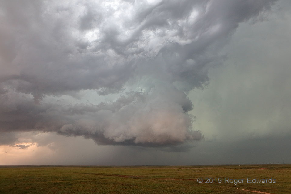
This extraordinary cloudscape assembled from an extraordinary recipe: the merger of a newer, smaller supercell into the forward flank of an older, larger one, at the same time an outflow boundary from a separate area of storms crashed the party from the east. This updraft, region, which still rotated rather obviously, represented what was left of the original supercell’s mesocyclone area after the newer storm finished merging to my right rear. Though rendered skeletal from being undercut by two combined shots of outflow (the larger, older boundary and rain- and hail-cooled air from the newer supercell), its internal dynamics kept the updraft going for a short time longer. Meanwhile, asperatus (a.k.a. asperitas) clouds developed above and in front of the residual supercell base, as a manifestation of moist, warm advection over the outflow. Elevated warm advection is the regime that usually yields asperatus, of course, just not often collaring the midlevels of a supercell!
6 N Channing TX (1 Jun 19) Looking NW
35.7731, -102.3329